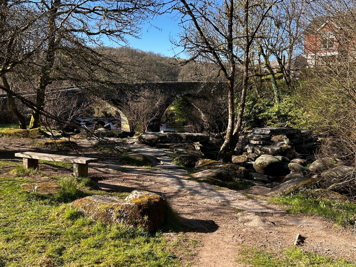
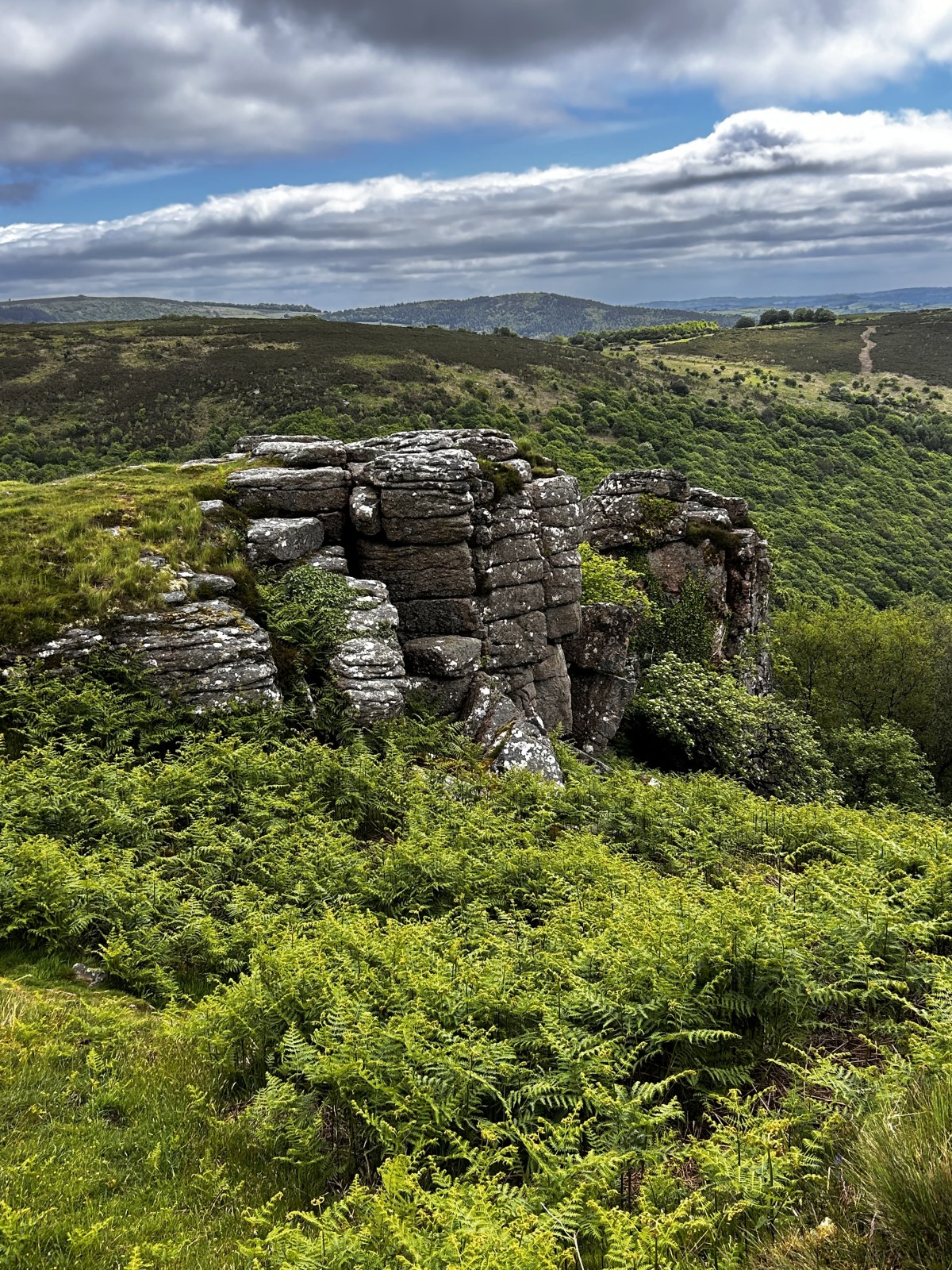
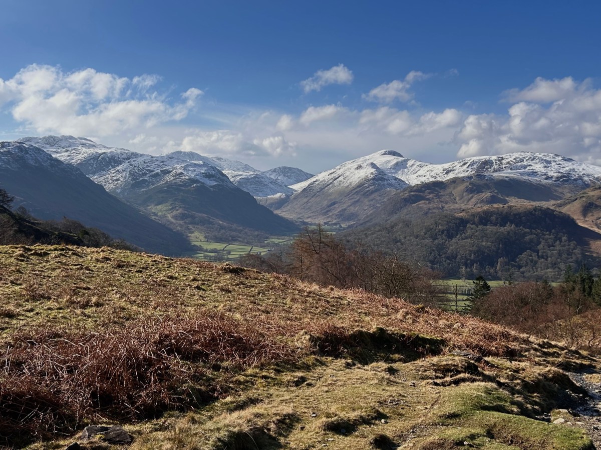
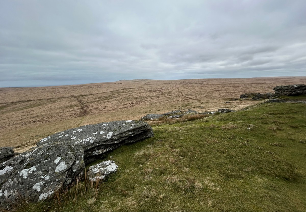
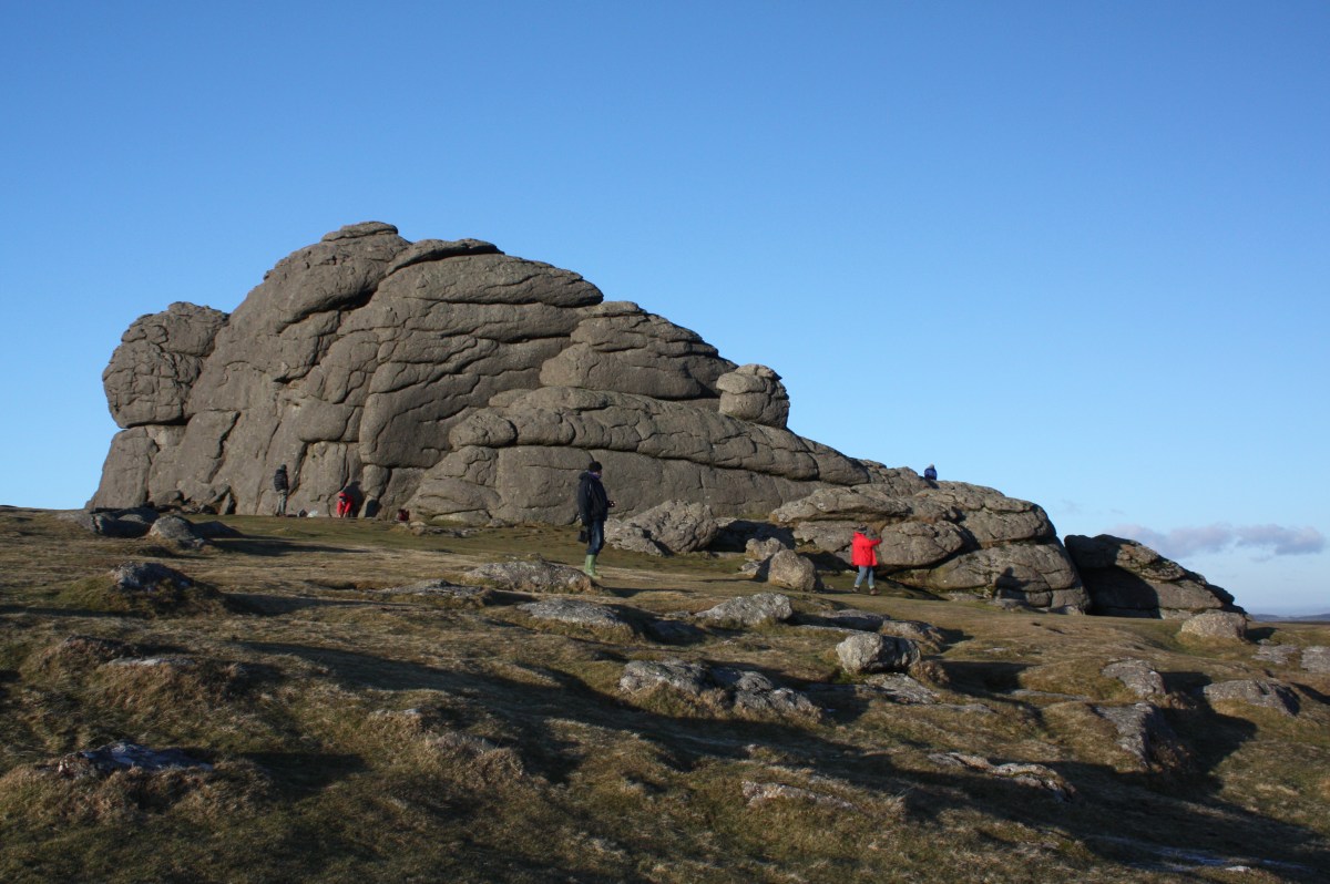
Categories
LAKES

MY RELUCTANT CONVERSION TO PEAK BAGGING

or, why it took me 50 years to saunter round the Wainwrights.

In 2022 John Kelly, an American ultra-runner, ran a 320 mile course round all the 214 fells described in Alfred Wainwright’s seven “Pictorial Guides to the Lakeland Fells” in just over 5.5 days. Other mere mortals typically complete the challenge in a year or two. It took me over 50 years.

In this post I confess to having been wrong to resist the challenge for so long and try to convey the sense of satisfaction and unexpected joy in finally ticking off all the summits in AW’s books. I also want to encourage others of an opinionated and stubborn disposition to get out and explore fells that don’t appear on tea towels or tee shirts.

Before I saw the light

I first became aware of Wainwright’s celebrated guide books in the mid-sixties. While attending a “mountaincraft” course led by Lake District National Park rangers and based at Grasmere Youth Hostel, one of the lads on the course shocked the rest of us, largely law abiding citizens, by pinching a copy of “The Central Fells” from the village bookshop.

Exhibit A

Despite it being a proceed of crime, we enthusiastically passed the book around and I recall being well impressed by the drawings and maps. However, at that time I didn’t really appreciate the wonderfully lyrical writing or realise what a monumental achievement producing all seven volumes was. I also had no inkling that “doing the Wainwrights” would become such a “thing” and a big deal for so many people.

Time passed and as I continued exploring the Lakeland fells from my home in Lancaster, I gradually became aware that some walkers were seeking to climb all of the fells AW described. My reaction to this was to dismiss these obsessives as nothing more than “train spotters” and to consider myself in some way superior by refusing to indulge in this unseemly activity unworthy of a true aficionado of the hills (i.e. me).  

I clung to this ridiculous notion for many years. During this time I climbed all of the higher fells, some many times over by most of the available routes, always assuring Wainwright disciples that they were wasting their time on the piddling lesser heights.

Conversion

When I retired in 2011, aged 58, I sought new challenges. Firstly, I walked the whole 633 miles of the South West Coast Path ( an account of which can be found here), then did a few long challenge hikes, including the Tour de Mont Blanc. Throughout this period I started to reflect on the urgings of friends who had completed the Wainwrights and I began to wonder if – heaven forbid – I had been wrong for all those years!  

In 2014 we bought a log cabin just outside Keswick. This meant we were spending more time in the Lakes, giving me ample opportunity to pursue what up until then I’d always regarded as a pointless exercise.

So, I got a list of all the Wainwright fells and was surprised to see that I’d climbed far fewer than I’d fondly imagined. I’d been blithely telling folk that I’d knocked off “most of them”, but found I had over 60 left. Still, how hard could that be? (spoiler alert – a lot harder in my 60s than it would have been in my 30s).

Finally bitten by the Wainwright bug, I got out the maps, set up a spreadsheet and started planning a series of walks to enable me to complete the list, which I did in 2019.

I was accompanied on these walks by my long-suffering wife Pat, who I’d roped in to this fell walking lark just a few years earlier. Without her companionship and enthusiasm, I don’t think I’d have bothered, which in retrospect would have meant missing a lot.

What would I have missed?

Well, a sense of achievement, of course, along with some really fine views, often providing quite different perspectives on familiar groups of fells. We also shared many friendly, often uplifting, conversations with folk we met who were pursuing the same objective.

Other common threads uniting my remaining Wainwrights are that, generally, they were grassier and more rounded than the rocky peaks I’d always been drawn to (more moorland than mountains) and also less frequented. I also learnt that size definitely isn’t everything- but of course I’ve been saying for years.

To try and illustrate the “joys of ticking” I’ll describe four of the walks I did to complete my list, one from each point of the compass. I hope this might encourage fellow reluctant peak-baggers to join the club.

Hills of the north? Rejoice!

Until we bought our cabin in Keswick, Skiddaw and Blencathra had been the northernmost points I’d ventured in the Lakes. However, to complete the Wainwrights I would have to go further north into the totally unfamiliar area comprising the Caldbeck and Uldale fells and the hollow of the Skiddaw Forest – an area known as Back O’Skidda.

To me, this large tract of unspoilt land has a totally different and isolated feel compared with the mountains to the south; rounder, less rocky, boggier and with fewer footpaths. It feels more of a wilderness and closer to my local national park, Dartmoor (although just a bit steeper!). 

This walk began just south of Longlands, at a layby (GR 265358) on a minor road that heads NE off the A591 just before it reaches Bassenthwaite.

Uldale Fells

Following the footpath to the pass at Trusmadoor we turned right to climb Great Cockup. Skiddaw dominated the view to the south, as it does from all of this walk, but to the north we were rewarded with an uninterrupted, distant view of the Solway Firth and Scotland beyond. Variants on this view are seen from all the peaks on this round, with occasional glimpses of western and southern fells thrown in.

Returning to Trusmadoor we ascended Meal Fell and completed a fine circuit of rolling hills by traversing Great Sca Fell, Brae Fell and Longlands Fell, from which descended to the car.

The circuit is a relatively modest 6.5 miles, but felt further, perhaps on account of the 2,000ft of climbing?

An added attraction of this walk is that, after your exertions, it’s not far to the Old Crown at Hesket Newmarket, one of my favourite pubs; it’s run by a community-owned cooperative, as is the excellent micro-brewery in the back yard. At this ale-drinkers paradise the brewery’s rather moreish produce can be sampled at a lower price than you’d pay in the bright lights of Keswick. 

Swindale – full of eastern promise

This 11 mile walk, from the delightful valley of Swindale, involves 2,300ft of climbing and takes in Selside Pike, Branstree, Tarn Crag and the most easterly Wainwright of all, Grey Crag.

Swindale is a wonderfully remote and unspoilt valley and its beauty more than compensates for any weariness on the long slog round its surrounding hills. It is also a valley that has been transformed by a conservation project that has the distinction of benefitting both people and the environment by radically improving the valley’s habitat for wildlife while at the same time preventing flooding further downstream. The remarkable tale of how this RSPB led project put the bends back into the river can be found here.

There is no parking by the farm at Swindale head, so the car was left just beyond the dam at GR 516133.

After walking down the valley road to the farm, we turned right onto a track leading to the Old Corpse Road that heads over the ridge to Haweswater. This road transported Mardale’s dead over to Swindale on their final journey to Shap.

Cheered by thoughts of death and dying, we turned left just before cresting the ridge and trod good, grassy tracks past the impressive cairns on Artle Crag to reach the less than impressive summit of Selside Pike. As with all of the summits on this walk, the most extensive views were well to the east, towards Shap and the Pennines.

The route continued to the nondescript grassy summit of Branstree, which afforded a fine view of the Kent estuary to the south and a glimpse of the Scafells to the west.

Tarn Crag next, situated at the head of Longsleddale. Here there are the remains of an old survey post, used during construction of the tunnel carrying water from Hawsewater to conurbations to the south. Again, views of Lakeland fells are limited, but the Pennines and Morecambe Bay amply compensate.    

Finally we reached Grey Crag, before descending the long valley back to Swindale Head. The route was straightforward, but we did it after rain and found it hard going underfoot. However, despite the tired, wet feet, for those like me who love walking in wild surroundings with excellent views (albeit generally to sights beyond the national park) it’s a grand day out.  

Into the weary wild west

We headed to the far west for what was the toughest walk needed to complete my project – a 14 mile round involving 3,500 feet of climbing.

Starting from an old gravel pit on the Ennerdale Bridge to Calder Bridge road (GR062135), the route followed a clockwise circuit taking in 5 Wainwrights (Grike, Crag Fell, Caw Fell, Haycock and Lank Rigg).

The hills were smooth and rounded, like most of my final Wainwrights; with the highest and only rocky summit, Haycock, giving an excellent all round panorama taking in the Scafells, Pillar, High Stile and the Helvellyn ridge. Other tops had excellent distant vistas towards the sea and Morecambe Bay but views of other Lakeland biggies were largely obscured. The sight of Sellafield was less inspiring.

We loved most of this walk, not least for the barren surroundings and sense of achievement in finishing it, but found it hard going towards the end. The 1,500 foot descent from Caw Fell (which feels really remote, probably because it is) deep into the valley of Worm Gill was tough, but after 10 or 11 miles of walking, the steep climb of 1,000 feet up the other side of the valley to the isolated summit of Lank Rigg was even tougher – for us, truly “a hill too far”. AW observed that “this is a fell most visitors have never heard of” and we were certainly wishing we’d never heard of it as we toiled up its steep slopes; once on the top though it had a nice “on the edge” feel about it and a very imposing cairn.

The fun didn’t end at Lank Rigg, as we then had a dispiritingly long tramp back to the car. As is usually the case though, any hardship was forgotten once we’d finished and were sipping our drinks in the Fox and Hounds Inn at Ennerdale Bridge; we didn’t stay long though, leaving after a swift one as the pub filled up with irritatingly loud Coast to Coast walkers. Having walked so many of his hills was I now beginning to channel that avuncular funster Alfred Wainwright?

Celebrating in the south

I’d climbed all of the Coniston fells bar Grey Friar, which is a bit off the beaten track; it lies slightly away from the main group and as a result is probably less frequently visited than the rest.

I chose this modest 6m walk, with just under 2,000ft of climbing, as my grand finale for wholly sentimental reasons; only after climbing it did I realised that it’s unprepossessing dome shaped top offers a panorama of the fells that is as good as any you’ll see.  

The very first walk I did in the Lakes was as a 12-year-old, while camping with the scouts in Dunnerdale. We were taken to Coniston and walked back to camp along the Walna Scar track, an easy walk that skirts the fringes of Coniston Old Man and Dow Crag, but one that sparked a life-long love affair with the fells. I left Grey Friar until last because the route starts from this path – soppy eh?

The route begins where the Walna Scar track crosses Long House Gill at GR 240968. An easy access road rises gradually to Seathwaite Tarn, a reservoir, after which a short but sharp climb gives easy access to the summit. Cue a feeling of elation, a plastic medal presented by Pat (no expense spared) and celebratory pics, including one of the stunning view mentioned above. On a day when the visibility seemed limitless we were presented with a fantastic panorama of the Scafells. But it’s not just the view to the west that’s jaw dropping – turning clockwise we were treated to distant sightings of Skiddaw, Blencathra, Hellvelyn and closer to hand, the rest of the Coniston group. All in all, a good place to finish my quest.

About time!

After returning the way we came we drove to Coniston for further celebrations at one of my favourite pubs, the Black Bull. A couple of pints of Oatmeal Stout went down very well indeed.

Reflections

Writing this post, I’ve reflected a few times that, when I was younger, I’d have considered some of the routes I walked to complete my Wainwrights pitifully short. Sadly, tempus fugit and there comes a time when you can’t canter round the fells as quickly as you once did. Not that I’m complaining in the least; I remember discussing aging with a friend at a time of life when you think you’ll live forever, probably in my 30’s and us both speculating that we’d be so lucky if we could still get out on the fells in our 60’s (which seemed very old then). As I approach 70 (which of course now doesn’t seem old at all) and just about still capable of climbing the highest fells, albeit at an out-of-condition snail’s pace, I consider myself very lucky indeed.

If you’ve stuck with this account so far, you need to get a life, or at least a hobby you’ll realise that I now fully acknowledge the error of my ways and wish I’d not been so stubborn in my youth and middle age. Judging by the number of people we meet out on the fells, folk need no encouraging to undertake the Wainwrights challenge, but in case there are still a few obdurate twerps like me, I would unreservedly encourage others to embark on this odyssey and not risk missing a real joy, as I almost did.

I’ve been asked if there were any of my remaining Wainwrights that I wouldn’t want to do again, or would warn others away from. It’s a testimony to the quality of my “remainers” that I can only think of two; Mungrisedale Common, which isn’t a hill at all and one that, providing more evidence of his eccentricity, AW included in his guide but then suggested that you don’t bother visiting, the other is the group of fells around Matterdale, because of the amount of road walking involved.

Mungrisedale Common
“…….has no more pretention to elegance than a pudding that has been sat on.” (AW ; “The Northern Fells”)

While accompanying me in completing my list, Pat became enthused by the idea of “completing” herself and in 2022 she summited her final Wainwright – it took her significantly less than 50 years. Supporting Pat meant that I had to repeat some of the higher fells that I’d done a few times before, but that was no hardship (even if they took me a lot longer than did earlier ascents). Her final walk was a reduced version of the classic Mosedale Horseshoe, for us a challenging, indeed epic, 12 miler involving 3,480 feet of climbing. We were quite pleased with ourselves; although I’m not telling you how long it took us.

The summit of Steeple was a perfect place for Pat to achieve her final tick.

What next?

It would have to be a more modest challenge and to that end I’ve been eying Wainwright’s “The Outlying Fells of Lakeland”; I know I’ve done many of them, but haven’t dared count what remains yet for fear I’ll get another shock. Of course, I could try and perambulate all 214 Wainwrights again, but fear I might end up traversing most of them in an urn……….

Categories
LAKES

Nice 2CU, C2C Nice – or is it?

……. the curious phenomenon of Wainwright’s Coast to Coast Walk.

If you’re happily strolling along a tranquil Lakeland path and your peaceful reverie is disturbed by the sound of a large, noisy group of bedraggled lost souls complaining about the lack of signposting, the weather or the rough, hilly terrain and if these unhappy wanderers are voicing their grievances in American, German or Australian accents. ………. then you’ve probably stumbled upon the Coast to Coast (C2C) path. You might then ask yourself what these folk are up to; what made them want to do it; and why they are behaving in such a bizarre manner?

To begin at the beginning. Once upon a time in Kendal there was a Borough Treasurer who liked a good walk: so much so that in 1972 he crossed the country from St Bees, on the Irish Sea in Cumbria, to Robin Hood’s Bay on the North Sea in N Yorkshire and wrote a guide book describing his adventures. He hoped that his book would encourage others to devise similar long distance expeditions themselves, rather than to follow slavishly in his footsteps. However, follow him slavishly they did- and still do in vast numbers. At first a few hardy souls followed the route he described, but today thousands are walking from coast to coast every year.

The Borough Treasurer in question was Alfred Wainwright (AW), who by the time he traversed the country was becoming rather well known as the author of a rightly celebrated series of seven Pictorial Guides to the Lakeland Fells. This post reflects on the curious phenomenon that is his Coast to Coast walk.

A confession.

I suffer a big disadvantage in writing about the C2C walk – I’ve never done it. My experience of the C2C is confined to the Lake District – where at one time or another I’ve trodden most of the route – and the Yorkshire Dales, where I accompanied friends for a three day hike from Kirkby Stephen to Richmond.

Still, I’ve never let a lack of first-hand experience get in the way of an opinion on any other topic, so why start now? In fact, I do believe that the experiences I have had are sufficient to entitle me to an opinion or three.  

In the beginning.

The route originally described by AW is about 190 miles long and involves over 26,000 ft of climbing (around the height of Everest). Two thirds of it traverses three national parks: The Lake District, Yorkshire Dales and N Yorkshire Moors.

Wainwrights route

The route undoubtedly presents some incredibly attractive scenery as it crosses the Cumbrian fells, Pennines and Cleveland hills and provides many interesting glimpses of England’s history. It is also a challenge not to be underestimated (although frequently is).

On my way to Kidsty Pike, on a typically well trodden C2C trail

Although AW said that his walk “has a bias in favour of high ground rather than low” the original route does tend to follow the line of least resistance: although he did offer alternatives for three of the days:

  • suggesting that the walker might climb Helvellyn or St Sunday Crag on the way to Patterdale, rather than follow the long valley trail down Grisedale,
  • offering the Helm Crag ridge as an alternative to Upper Easedale for the passage from Borrowdale to Grasmere, and
  • after Keld, giving a high level walk around the old lead mines as an alternative to the valley route down Swaledale. 

Since then, subsequent writers have added a few more challenging alternatives of their own.  

In the guide book, first published in 1973, AW is at great pains to point out that his walk is not an “official route” like the Pennine way. As noted, he hoped to inspire others to devise their own routes, rather than to just follow his and was ironically very disparaging about the sort of walk that the C2C has in fact become.

The C2C today.

Today, AW’s “unofficial” walk is incredibly popular – with thousands completing it every year. It is said by many to be the most popular long distance walk in Britain and was rated second best walk in the world in a survey of “experts” in Country Walker magazine. First on the list was the Milford Trail in New Zealand, but astonishingly the C2C was rated ahead of the Tour de Mont Blanc, Inca Trail and Everest Trek. Having walked the TMB and a variant of the Everest Trek I’m prompted to enquire who the “experts” were and suggest they try and get out more.

The C2C path certainly has its fervent evangelists, some of whom run out of and/or scrape the barrel of superlatives in describing the walk. In 2004 a Canadian, Bill Scott, who has done it twice, gushed about its charms, describing it as “second to none” and arguing that it should be first on the list of best long distance walks, describing it as “a cultural as well as a physical and mental challenge.” Calm down now Bill!

AW’s big walk is big business and has revived many local economies along the way: it’s a veritable boon to the hotels, B&Bs, cafes and all the other businesses providing support to the long distance walker. Many walking companies now offer packages for the entire trip, or will arrange shorter breaks taking in selected highlights: these packages include accommodation, route notes and (very appealing to ageing walkers like myself) bag carrying.  

AW’s C2C guide book was published in 1973: that is 7 years after the final volume of what I consider his masterpiece, the Pictorial Guides To The Lakeland Fells and a full 18 years after the first volume.

By then the Pictorial Guides were selling like hot cakes and converting a growing number of readers to the delights of fellwalking. He must surely have guessed that the C2C guide would also be a best seller and that many of his disciples would want to follow him on his latest adventure.  

And yet, AW seems to have naïvely believed that his “unofficial” footpath would escape the negative aspects he ascribed to “official” routes like the Pennine Way. He doesn’t seem to have expected that his path would become so popular, indeed more popular than any of the “official” trails. 

AW’s views on “official” paths in general
……… and the Pennine Way in particular

TV has made a huge contribution to the C2C’s popularity. Eric Robson accompanied AW for the 1990 BBC4 series “Wainwright’s Coast to Coast Walk”: by this time AW was clearly aware of just how popular the walk had already become. In  2007, the High Priestess of the Wainwright Cult, Julia Bradbury, focused on the  C2C in her 2009 BBC series “Wainwright Walks: Coast to Coast” which has promoted the walk to a global audience.  Her 2013 spin-off book with the same title and Tony Robinson’s 2017 Channel 5 foray onto the path brought it further exposure.   

Many of the multi-national groups I’ve encountered on the path say they learnt about the walk from watching Julia’s programme. Often the international contingent outnumber the Brits in a group of C2C’ers: this no doubt creates a very healthy, vibrant and stimulating international ambience and a real sense of camaraderie with others pursuing a shared objective, which must provide much fun and enjoyment. All good and well if you like having a good time and making new friends, as Wainwright himself might have said.

However, there are downsides.

How it seems to me.

the unfit, the unprepared and the navigationally challenged.

Before getting to the downsides, many upsides must be acknowledged.

Notwithstanding reservations about following lines of least resistance (and as I’ve said, more challenging variations are now offered), in my experience the paths are generally delightful and provide some stunning views of what for me is the best place on earth as it traverses Lakeland via Ennerdale, Borrowdale, Easedale, the higher section around Haweswater and then beyond towards the Eastern wilderness approaching Shap.

Haweswater

The scenery in the Yorkshire Dales is also wonderful and the capital of Swaledale, Reeth, like most dales villages, is a delight with its village green, old atmospheric pubs and local shops.

Swaledale
Reeth, Swaledale’s “capital”.

So, having acknowledged the many attractions of the C2C- like the camaraderie, fantastic views, fine pubs and friendly locals, what’s not to like about it?

Well, for a start – although it’s not typical of the whole route – the over-used and worn-out path crossing the morass that is Nine Standards Rigg, above Kirkby Stephen, is as close to a re-enactment of the muddy battles of the Somme as you’re likely to experience without contracting trench foot or getting shot.

Flanders Fields? No, Nine Standards Rigg.

At the risk of again sounding like Victor Meldrew’s more misanthropic cousin, in my experience the problem is not with the scenery or even the route, but the people- there are too many of them, they are too often in too big a group and as a consequence make too much noise. How dare these folk express their joy of being alive in such spectacular surroundings through such raucous banter?

As well as being noisy, many are also woefully underprepared and don’t look fit enough to walk to the bar, let alone complete a challenging multi-day hike. I don’t want to come over as an old curmudgeon, although if I did I’d be in good company with Alfred Wainwright.

I can confirm that the C2C walk attracts more than it’s fair share of what AW described as “complete nogs”.

I’ve also come across many “navigationally challenged” C2C walkers who’ve had no idea where they were. I’ll mention just three examples, but I could multiply these many times.

We met a group of three Americans descending from Windy Gap towards Sty Head, assuming they were approaching Honister Pass. They’d turned right instead of left at the head of Ennerdale without realising the error of their ways. Still, they seemed happy enough as they followed our directions down Sty Head Ghyll to Seathwaite in Borrowdale.

Correct route out of Ennerdale in green: X marks where we met the “lost souls”.

Interestingly, in its advice on navigational issues on the C2C, The Wainwright Society (since 2012 the “Responsible Organisation” for the walk) referred specifically to the tendency of walkers to take the wrong turn at the head of Ennerdale. Unbelievable you might think, given the quality of available mapping and the detailed instructions in today’s guide books and walking notes?

Pat negotiating perilous rocks around Ennerdale.

Also memorable was the group of lads we passed perusing their maps between Rest Dodd and The Nabb, apparently heading for Martindale. In good weather and excellent visibility, they’d taken a 90 degree left turn off the extremely well-trodden path towards Kidsty Pike (see earlier picture) and were espousing outlandish theories on where they were on the C2C. When I asked them if I could help they confidently assured me they were on the C2C heading for Kidsty pike, so I left them to it and pressed on, confident that they could call a cab by the time they hit Ullswater and realised it wasn’t Hawsewater.

Route to Kidsty Pike in green: lost souls met at X
Angle Tarn

I’ve heard more than a few of these lost souls – like the guy who’d gone astray on the way off Kidsty pike – bemoaning the lack of sign posts pointing the way off the summits and expressing surprise when I say that many of us would oppose such “improvements” vehemently and prefer the challenge of navigating with our maps and compasses. They look at me as if I’m barmy – a look I’m becoming worryingly familiar with as I get older.

Unlike the National Trails, the C2C is not signposted throughout its length. As we will see below this alleged shortcoming may soon be rectified, although I doubt we’ll be seeing sign posts on the fell tops any time soon. I imagine Friends of the Lake District, the National Trust and other interest groups might have something to say about that.

The surprising thing is that many of the disoriented dunderheads I’ve met are often festooned with map cases, compasses and GPS devices: but clearly have no idea how to use them.

I’m amazed how little research many C2C walkers seem to do before booking their holiday. I have in mind an American who complained that the paths were very rough and not well paved like those at home. I’ve walked in a few national parks in the US on some pretty rough trails, so can only assume his experience at home was confined to urban nature trails. He should console himself with the thought that at least you don’t get bears in Cumbria (apart from the “Bear on The Square Inn” in Millom).

The C2C is a challenge to even the fittest hiker, yet many seem to tackle it without any training or experience of long walks. On each of the three mornings I breakfasted with C2C hikers in N Yorkshire I was struck by the sick-parade of the walking wounded, desperately trying to prepare their blistered and tired feet for another day of torture or giving up the ghost and calling for taxis to take them to their next billet.

In the Lakes I’ve also met some C2C walkers who have been really struggling. I know from experience that on any multi-day hike there will be hard days when you wish you’d never bothered and part of the sense of satisfaction comes from meeting the challenge successfully, but the C2C seems to attract a high proportion of those who cross the line from a good challenge to purgatory.

The number of walking wounded is testimony to the fact that many participants are well outside their comfort zone. No one wants to stifle the sense of adventure or deny folk the sense of achievement that comes with completing a challenge walk, but I wonder if the TV programmes, articles and walking companies could do more to structure their expectations? Maybe expectations are frequently at odds with reality because they’ve seen TV presenters strolling effortlessly around the path (or possibly selected parts of it) without breaking sweat?

There is a tipping-point where the satisfaction of overcoming a challenge is outweighed by the misery of spending your annual holiday thoroughly wet, miserable and tired.  

The future.

Given the huge numbers who traipse along them, the C2C paths take a lot of punishment and it is a big ask to keep them safe while minimising environmental damage. 

It has long been an anomaly that the C2C walk, despite being the country’s most popular and well used long distance footpath, receives none of the additional funding that official National Trails attracts and is maintained by the National Park authorities, local councils and landowners, including the National Trust.

Certainly in the Lakes the National Park Authority and National Trust appear to do a good job keeping the paths in good nick, but interest groups such as the Wainwright Society – through their 2007 “Coast to Coast-make it National” – campaign, have long lobbied for National Trail status which would unlock government funding for maintenance and measures to make it more accessible. More recently a campaign for re-designation was launched by the, then unknown, MP for Richmond, Rishi Sunak.

It is encouraging to note that progress is being made and that Natural England have just been asked to carry out a “full audit” of the trail to establish what needs to be done to bring it up to scratch, particularly as regards accessibility and a formal proposal is due to be presented to Government in Spring 2022. It will be interesting to see if the honourable member for Richmond is quite so keen to “splash the cash” in his current job. As long as the government doesn’t decide to “level-up” the Lakeland fells I’ll be happy!