A few stories set in and around a Lakeland guest house .
Categories
LET IT B & B
A few stories set in and around a Lakeland guest house .
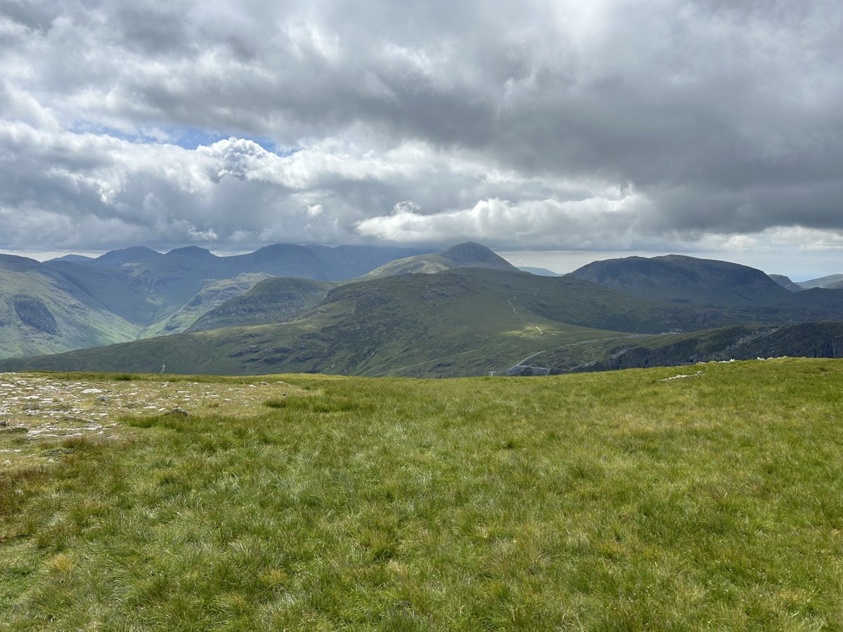
A horseshoe walk through Cumbria’s industrial past, with some world class mountain views.

A spotters guide to fellgoing folk.
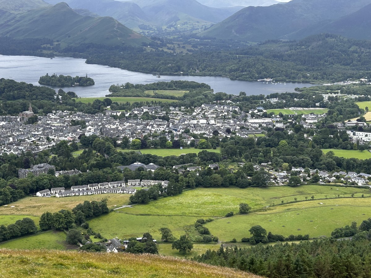
I explore the town: introducing its many delights and reflecting on what’s changed.
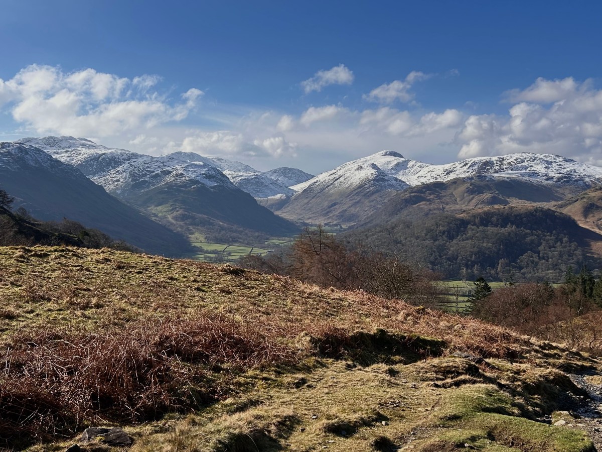
WATENDLATH AND BORROWDALE
Breathtaking views on the climb to a picture-postcard tarn, a delightful valley and just watching the river flow into Derwentwater.
BOREDALE AND ULLSWATER
Worshipping the fells at a ruined chapel, descending a big valley and strolling by a lake along Wainwright’s “most beautiful and rewarding walk”.
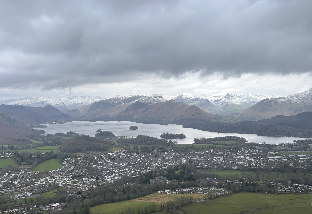
LATRIGG & THE RIVER GRETA
A minor Wainwright, a major view and a scenic riverside trail.
A story of three mates growing apart, negligible navigation and a magical discovery.
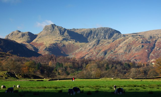
THE LANGDALE PIKES (WELL, TWO OF THEM)
The first Lakeland “Over the Hill Hike”: one that put me on track to rediscovering my mountain mojo.
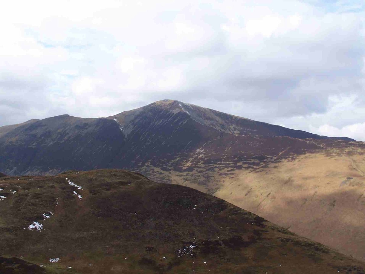
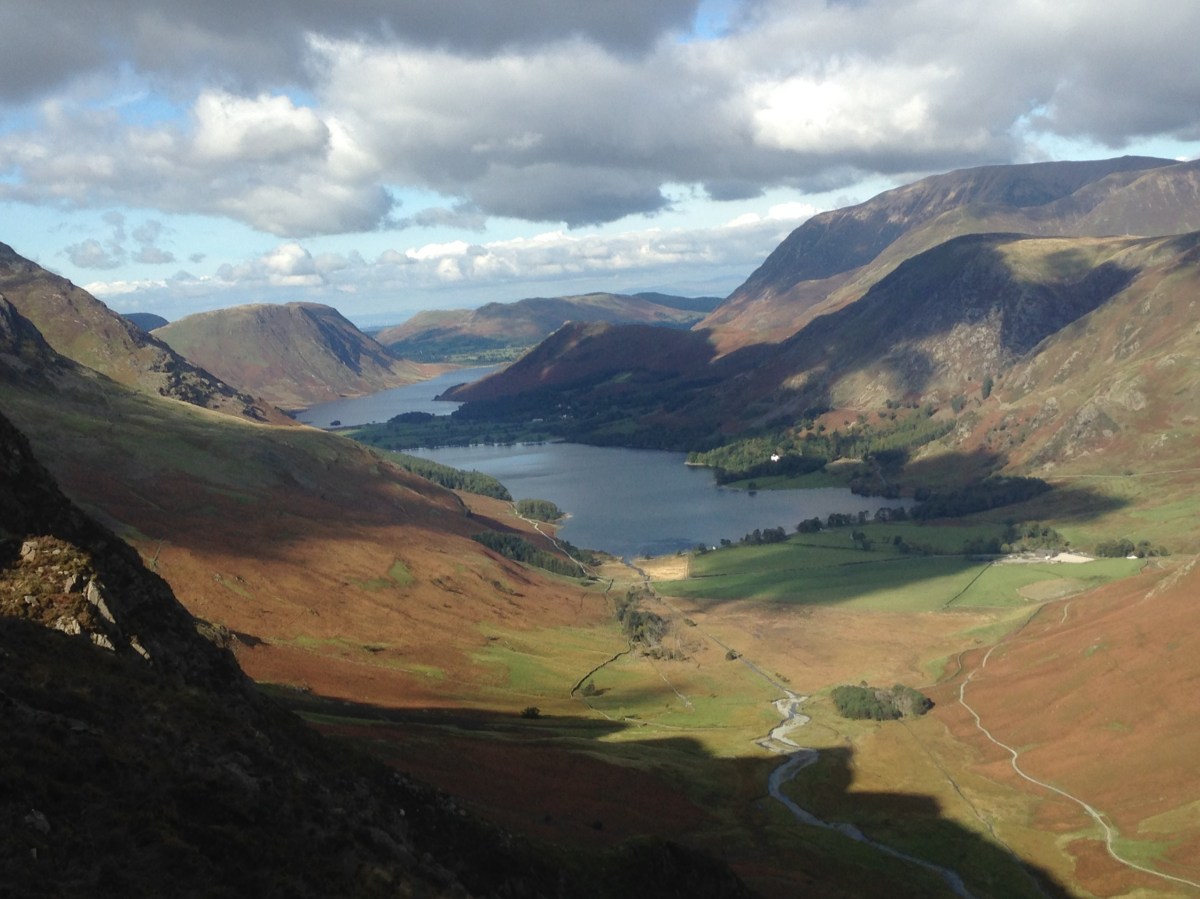
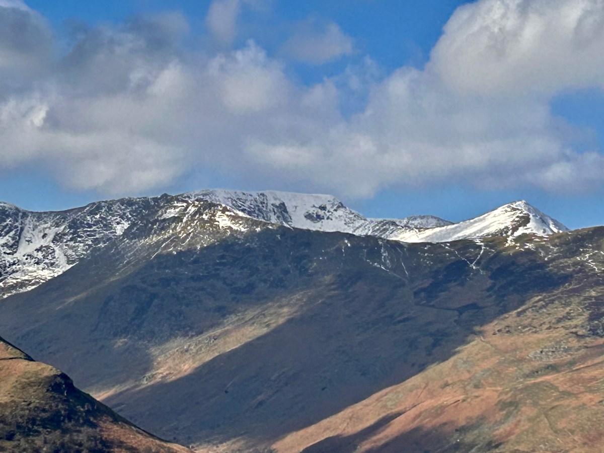
A COLEDALE ROUND
I describe the second of my Lakeland “Over the Hill Hikes”: one that put me firmly back on track after an unexpected “wobble”.
